On June 24, of this year two major earthquakes shook the Venezuelan coast. The first, at 6:04 am, the second was a minute later. Almost 500 miles away, the strongest earthquake Venezuela has recorded since 1900 was barely felt in Trinidad. Within days however, the coast at Galfa Point on the southwest coast of Trinidad had risen as much as 20 feet, a road at L’Envieuse had torn in two, ponds had sloshed over their banks, and a new island of mud had broken the surface off the south coast.
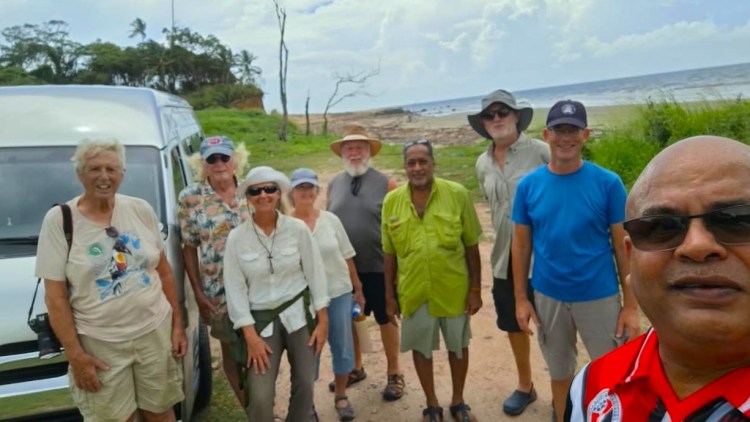
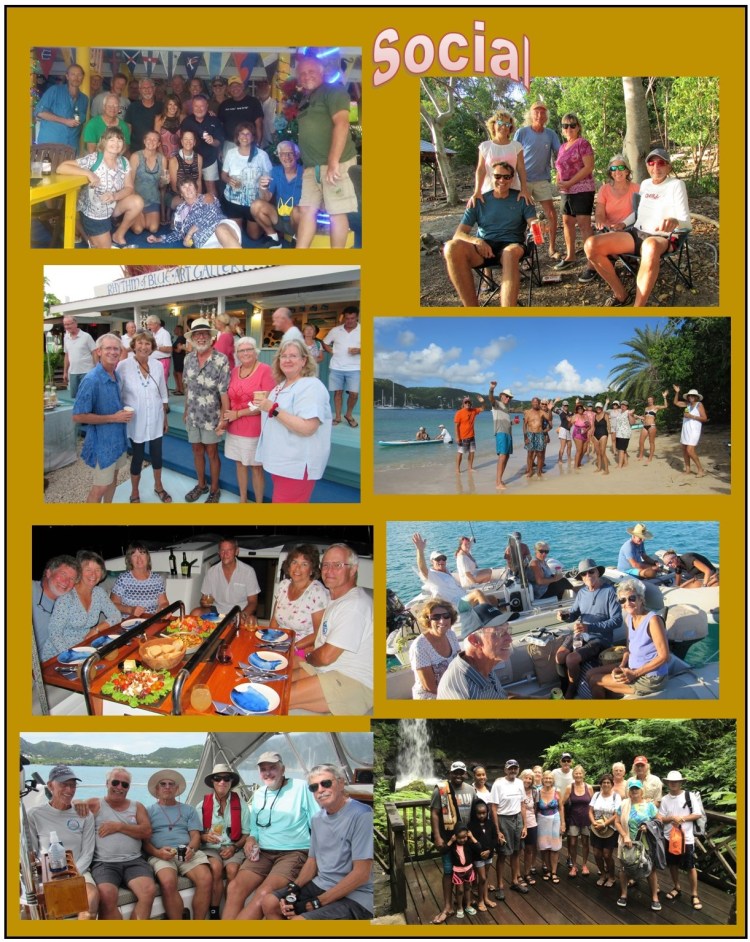
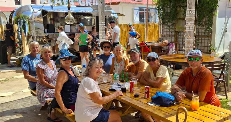
Jesse James (Maxi Taxi Members Only) organized a cruiser’s tour of the area, which like all his tours, turned out to be a very enjoyable and informative day away from boat work in Chaguaramas. Seven cruisers signed up and off we went with Jesse and Mr. Ramkishore Maharaj (Mr. Ram), who served as a knowledgeable local resident of the area. Jesse’s tour always includes stops to experience the local foods and culture of the area. His nonstop narratives as he drives show his love and knowledge of Trinidad. He says he loves this “job” of conducting tours which is certainly evident.
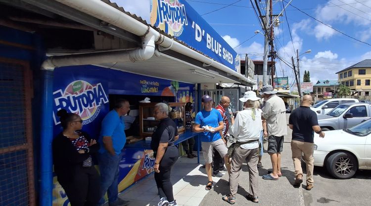
This day long trip to the southwestern point of Trinidad started at 8:30 in the morning and headed east through Port of Spain then south on the Uriah Butler Highway past Chaguanas. This meant that the first stop would be to get some breakfast at ‘D’ Blue Shed. Besides Doubles, other Trini delectables included Saheena, Biganee and Kitchorie.
Fortified with a Trini Breakfast, Jesse drove on past San Fernando and Point Fortin. The highway turned into local roads down to Cedros. From there, the road really became “back roads” where 4WD off road vehicles would be appreciated. Jesse, driving his Cruiser’s Van was undaunted as we traveled down narrow partly paved roads then gravel roads after passing Cedros. We then made it east to the beach at Galfa Coast.
This area, on the southwest point of Trinidad is only about 12 miles from Venezuela. The sea passage between the two is known as the Serpent’s Mouth as opposed to the passage on the northwest side by Chaguaramas, the Dragon’s Mouth. If you get the feeling they were named this way for a specific purpose you may not be wrong. The question is, which land is the dragon and which is the serpent? I have no idea.
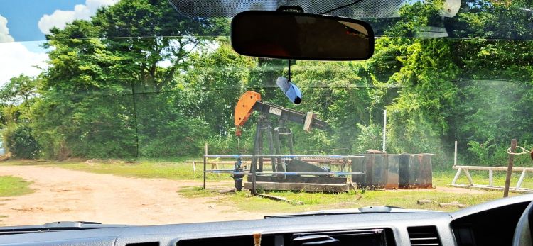
In any case, the southwest part of Trinidad has the unique geology of being on the top of many geologic faults between the South America continental plate and the Caribbean plate. The Caribbean plate is being pushed east and that is the cause of the earthquakes in the area. It also results in making the abundance of oil and gas easily extractable both by Venezuela and Trinidad. Driving to the Galfa Coast, plots of land were dotted with small oil well pumps in the Bonassa oil field. Mr. Ram mentioned that each may produce a number of barrels a day. Well, at $100 per barrel, having one in your back yard may not be so bad.
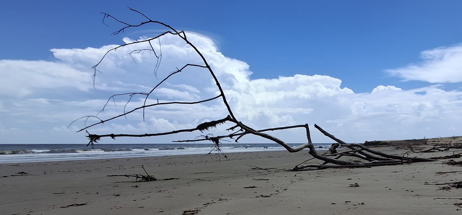
We arrived at the wide flat beach that seemed to extend forever. Looking north it was unbroken for miles. Looking south was different. There was a clear break that looked like the beach was lifted up by about 20 feet.
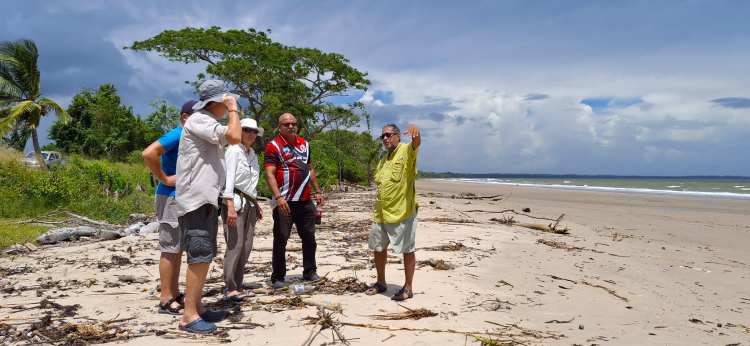
In fact, that was exactly what happened in a few minutes back in June when the earthquake shook Venezuela. Mr. Ram was there a few days later. He explained that the seabed that was underwater a few days before, was now 20’ in the air. Fish were stranded, rocks covered with barnacles far above the sea level were everywhere. Rocks lower toward the water were clean of any sea life. The sand was a mixture of sand, clay and the oily substrate that dominates the area. A full description of the event is described here: https://ttweathercenter.com/2026/07/12/how-did-the-venezuelan-earthquakes-affect-tt/34567/
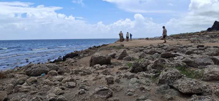
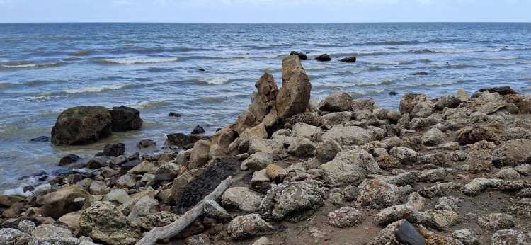
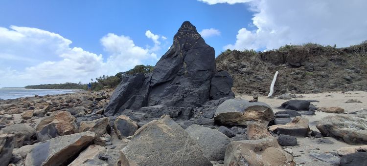
The surreal image of the beach upheaval was startling. One can only imagine the forces involved. You could then imagine what the Venezuelans experienced.
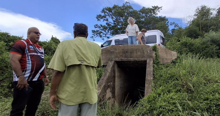
Besides the Galfa Coast point of interest, we proceeded to areas that had mud volcanoes. These are also part of the geology of the oil and gas fields that bubble up mud. They have also done more then “bubble up” by erupting and flinging mud in large areas. We also saw an abandoned World War II bunker that was used to protect the oil fields and refineries during the war.
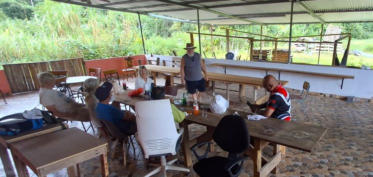
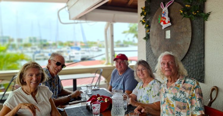
We had lunch at Mr. Ram’s private property which he is developing into a nature preserve. A center to observe birds, wildlife and the local natural environment. He envisions it as a place Trinidadians and visitors alike can come and experience that natural beauty of southern Trinidad. It can also support overnight accommodation, which makes visiting the southern end of Trinidad more convenient.
Cruisers rarely venture south in Trinidad. Jesse offers tours to the Asa Wright Nature Center in the North, the Caroni Swamp to see the Scarlet Ibis, the Pitch Lake and many other areas but this was his first trip all the way south to the Galfa coast. He hopes to add this to his list of tours. I highly recommend joining him to go to places few tourists experience the next time when in Trinidad. As the Andrew Sisters once sang, “If you ever go down Trinidad
They make you feel so very glad…” even without the Rum, and Coca Cola.